
File:Satellite image of Croatia in September 2003.jpg

Size of this preview: 620 × 599 pixels. Other resolutions: 248 × 240 pixels | 496 × 480 pixels | 794 × 768 pixels | 1,059 × 1,024 pixels | 2,172 × 2,100 pixels.
Original file (2,172 × 2,100 pixels, file size: 1.59 MB, MIME type: image/jpeg)
| Description |
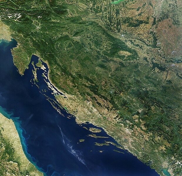
English: Satellite image of Croatia |
|||||||||
| Date | ||||||||||
| Source | Satellite image of Croatia in September 2003. Cropped image, original taken from NASA's Visible Earth http://visibleearth.nasa.gov/view_rec.php?id=5947 archive copy at the Wayback Machine | |||||||||
| Creator |
NASA |
|||||||||
| Permission (Reusing this file) |
|
|||||||||
| Geotemporal data | ||||||||||
| Bounding box |
|
|||||||||
| Georeferencing | ||||||||||
| Other versions |
|
|||||||||


File history
Click on a date/time to view the file as it appeared at that time.
| Date/Time | Thumbnail | Dimensions | User | Comment | |
|---|---|---|---|---|---|
| current | 12:27, 3 October 2023 | | 2,172 × 2,100 (1.59 MB) | wikimediacommons>Ponor | new crop for use in location maps like File:Croatia_relief_map.png |
File usage
The following 2 pages use this file: